August 19th Nazca to Chalhuanca Day 16
THE REAL WORK BEGINS
Now the roads aren't paved - 340+ km of driving, into the mountains
Woke up in early Nazca hotel to a cold and clear morning (Nzca was only just above 500m so we’d climbed from just about sea level the previous day). Breakfast at 6:30 so we could be ready for the road at 8:00.
See the map at the base of this page for the route. Also this page for all the photos of the day
I will just point out here that I did rather go berserk with my photography for this day – the scenery was rather stunning and, of course, novel to me. I have linked to some of the photos in the text but the full set is on the photographs page for the 19th August more or less in time order.
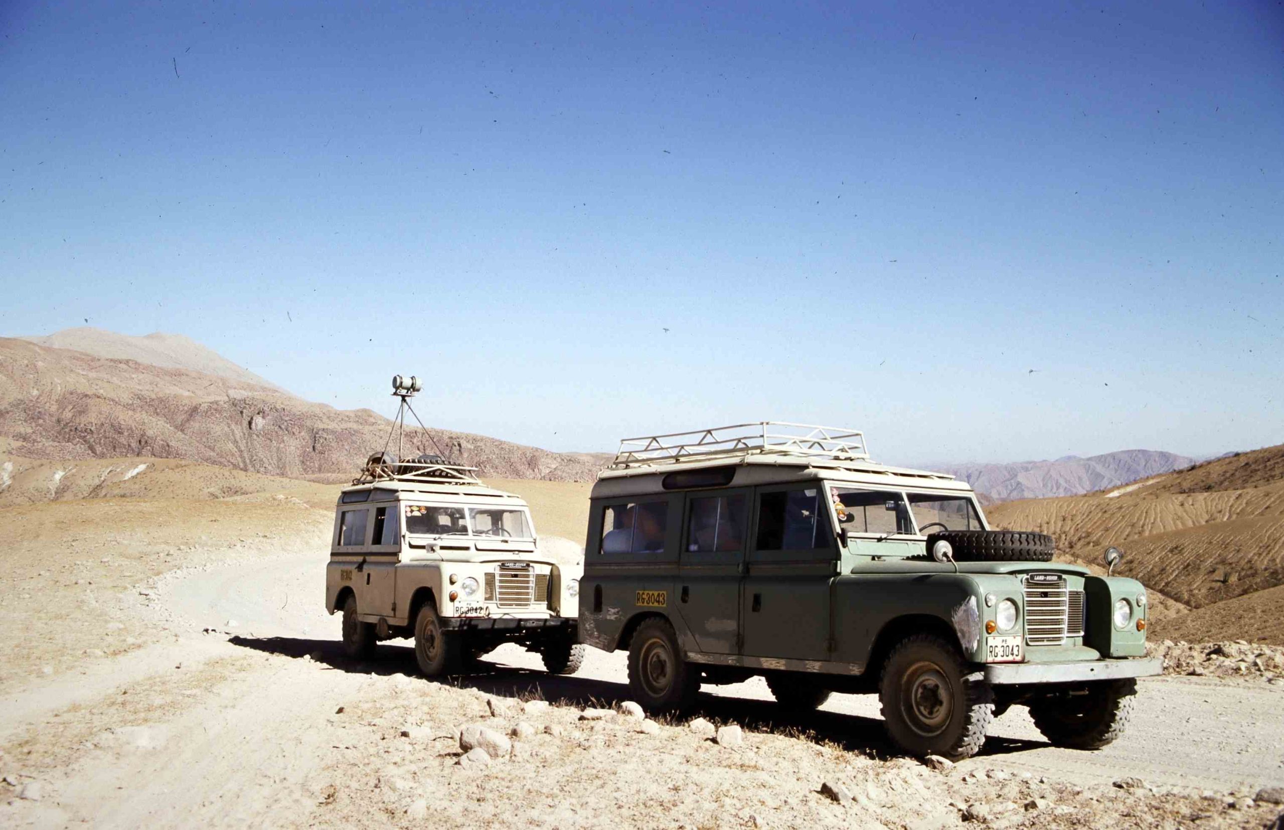
As we were starting to survey I mounted two gamma-radiation detectors on the roof of the SWB Land Rover with one on top of the tripod as shown, and we set off recording the radio-activity levels, initially as a test. I was in the passenger seat of the Land Rover checking out the system, and ensuring everything was ok. Apart from a dial showing the radiation levels, there was a pen recorder running continuously, which needed marking every so often, so we could relate any measurements to a location on the ground (noted in a notebook). From time to time we stopped to check the geology and take measurements with a hand-held gamma ratmeter – as below.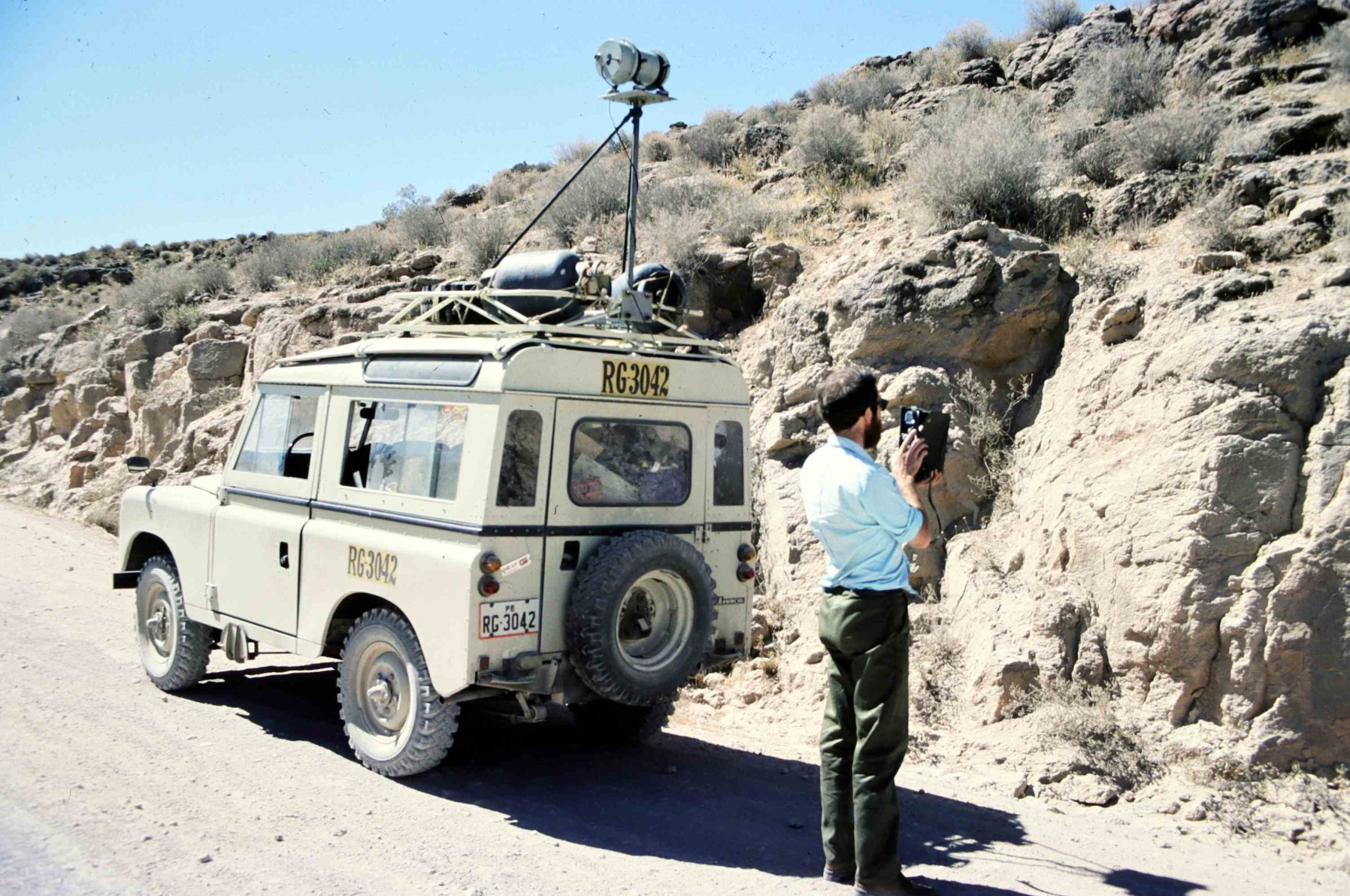
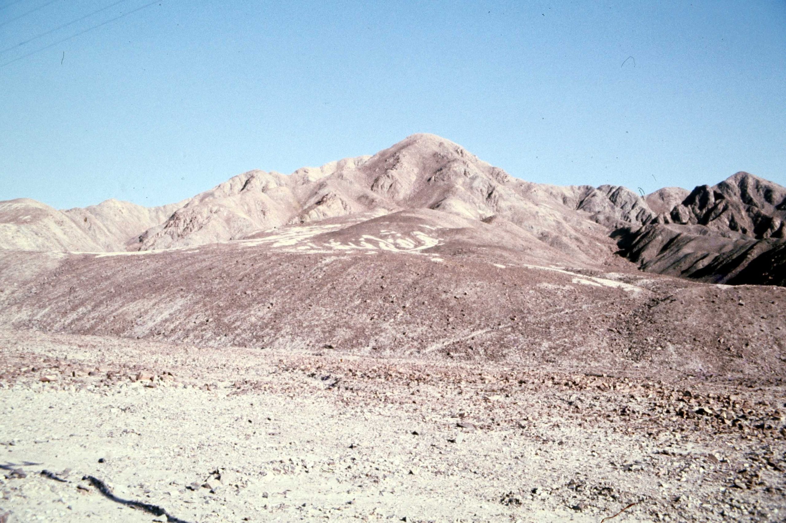
We were climbing steadily most of the first 10s of km, with some zig-zagging until we reached a more level area after around 30 or 40 km and now at around 4,000m (13,123ft) above sea level (bear in mind the highest mountain in the UK, Ben Nevis, is at l,345m (4,413ft)). This was the initial high spot on the route (and the highest I’d been on land up to this point – but would go higher) and following this, we would descend for quite a distance. Some of the scenery was quite photogenic in this section. Sometimes we could see the road stretching out in the distance, but would need to go round a long set of curves before reaching that point. Even though the hillsides had very little vegetation (it was the ‘dry season’), there were still animals grazing (yes there are animals in the photo) I think they were goats but difficult to make out.
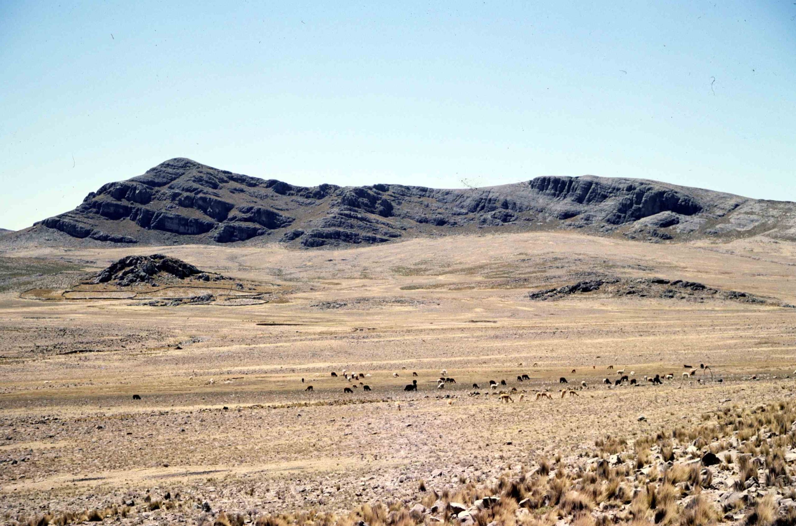
Along the road in the semi-level area before descending, we stopped again as some Vicuña (the wild relative of the Llama, at the time there were only a few thousand left in the wild, having been declared endangered only two years earlier) that could be seen in the distance (in the centre of the picture). Relatively rare to see, even the Peruvians with us got excited. This where my telephoto lens cam in handy so I was able to take some relatively decent photos even though they were a long way off. Here they are on the horizon and here is a close up (more on the photos page for 19th day 16).
One item I bought in Peru was a cardigan (see right) which was sold to me as being made with a mixture of vicuña and alpaca wool. It was relatively expensive and is really warm and it is very light in weight so I’m prepared to believe it – it’s been used so much it is now falling apart!
Now as we descended into a deep valley and the road had a whole series or serious curves, my first introduction to what would become rather routine later in the work, only with me driving.. We did stop from time to time to examine the geology as we went along, so I had the opportunity to take photos as well. Here are links to one or two of them but there are more on the photos page. You can see in the photos with the Land Rovers featured that the SWB still has the detector mounted atop the tripod but….
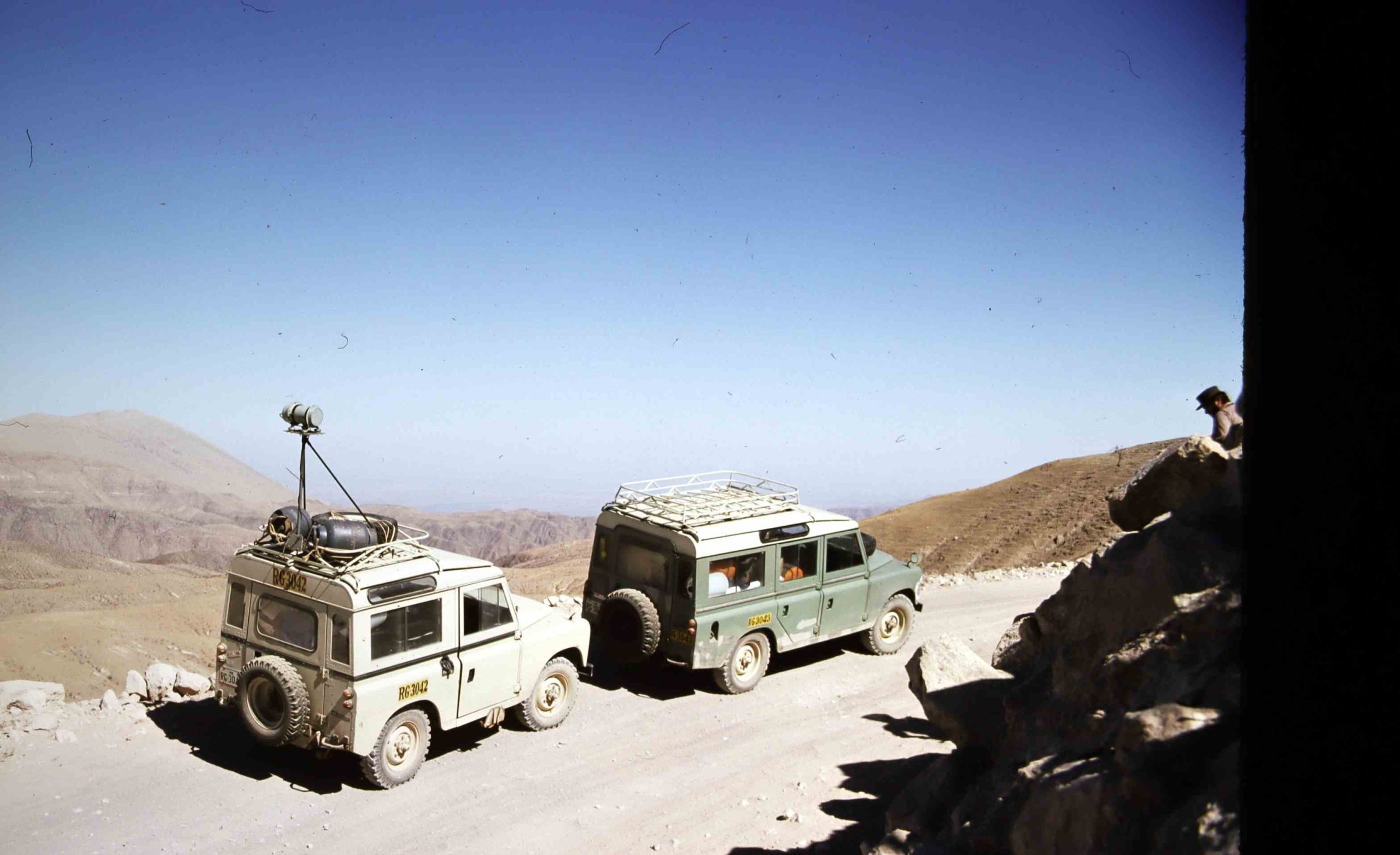
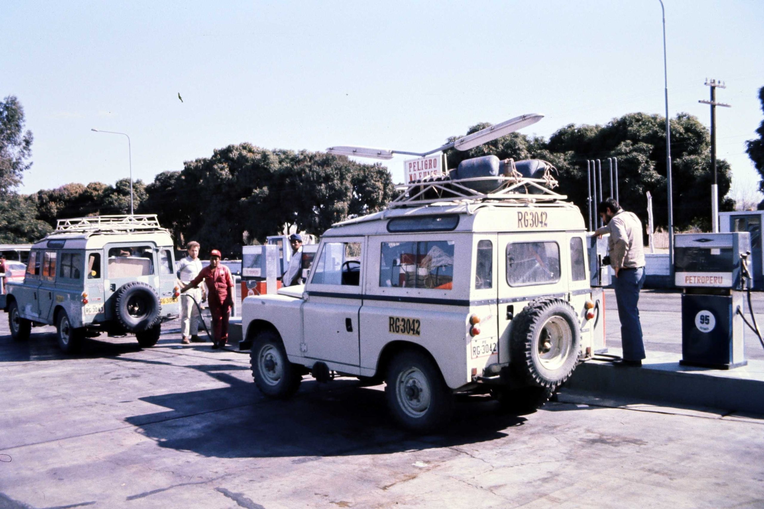
After maybe 90 kilometres we stopped, as we could hear serious rattling from the roof and the readings were becoming erratic and one of the detectors then ceased providing readings. So we stopped at San Juan de Lucanas (now down at 3,500m) for a drink and a chance for me to sort out the problem. So I had to get on the roof of the Land Rover and remove the detector on top of the tripod, having established that part of the problem was the gas cylinders that had been strapped to the roof rack that had become loose (you can see the gas cylinders on the roof of the Land Rover in this picture from previous day). The ultimate cause of the damage was the state of the road, far from smooth now we were away from the main highway and climbing into the mountains, the road was unpaved, rough and dusty. The shaking had not only caused the detectors to be damaged but also the roof rack as the shaking had been so bad. Lesson learned! Since it was unlikely that the roads would get much better during the work, it needed a rethink about mounting the detectors on the roof.. The high tripod initially used was not going to work, so a lower mount was needed.
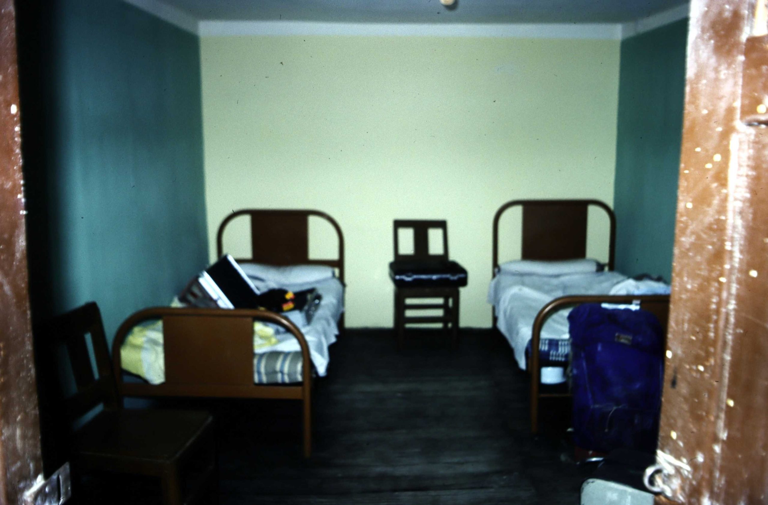
We carried on through Puquio, (3,200m asl) climbing again, round some very twisty roads through valleys before climbing up to over 4,400 m before eventually descending into a deep valley. The delays caused by rejigging the equipment and roof rack on the Land Rover delayed us rather, so we ended up driving into darkness (remember at this latitude darkness falls pretty much as 6 o’clock), descending into a large valley to around 2,900m ASL and arriving at Chalhuanca around 9pm. We found a ‘cheap restaurant’ (that’s what it says in my diary!) and stayed in Hotel Zegarra, Chalhuanca on the main road (described as ‘cheap hotel’ in my diary see photo of the room Uisdean & I shared – still exists, and still described as ‘basic’)
Note – climbing to over 4,000m often leads to severe headaches and some loss of function thanks to the reduced oxygen levels. However, on this day I don’t remember being affected probably probably thanks to the relative gradual ascent. Later on in the work I did get affected, but the circumstances were different.
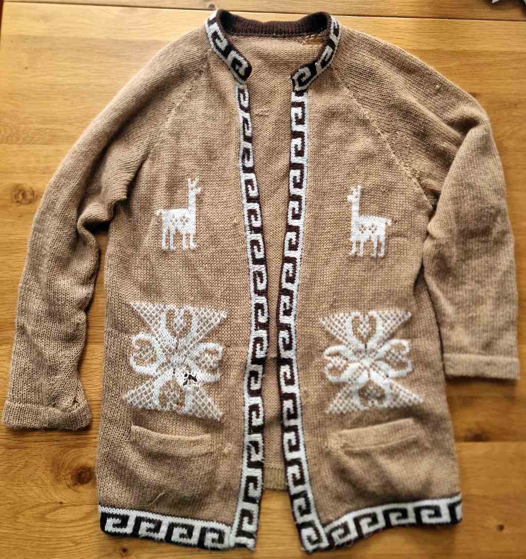
Cardigan
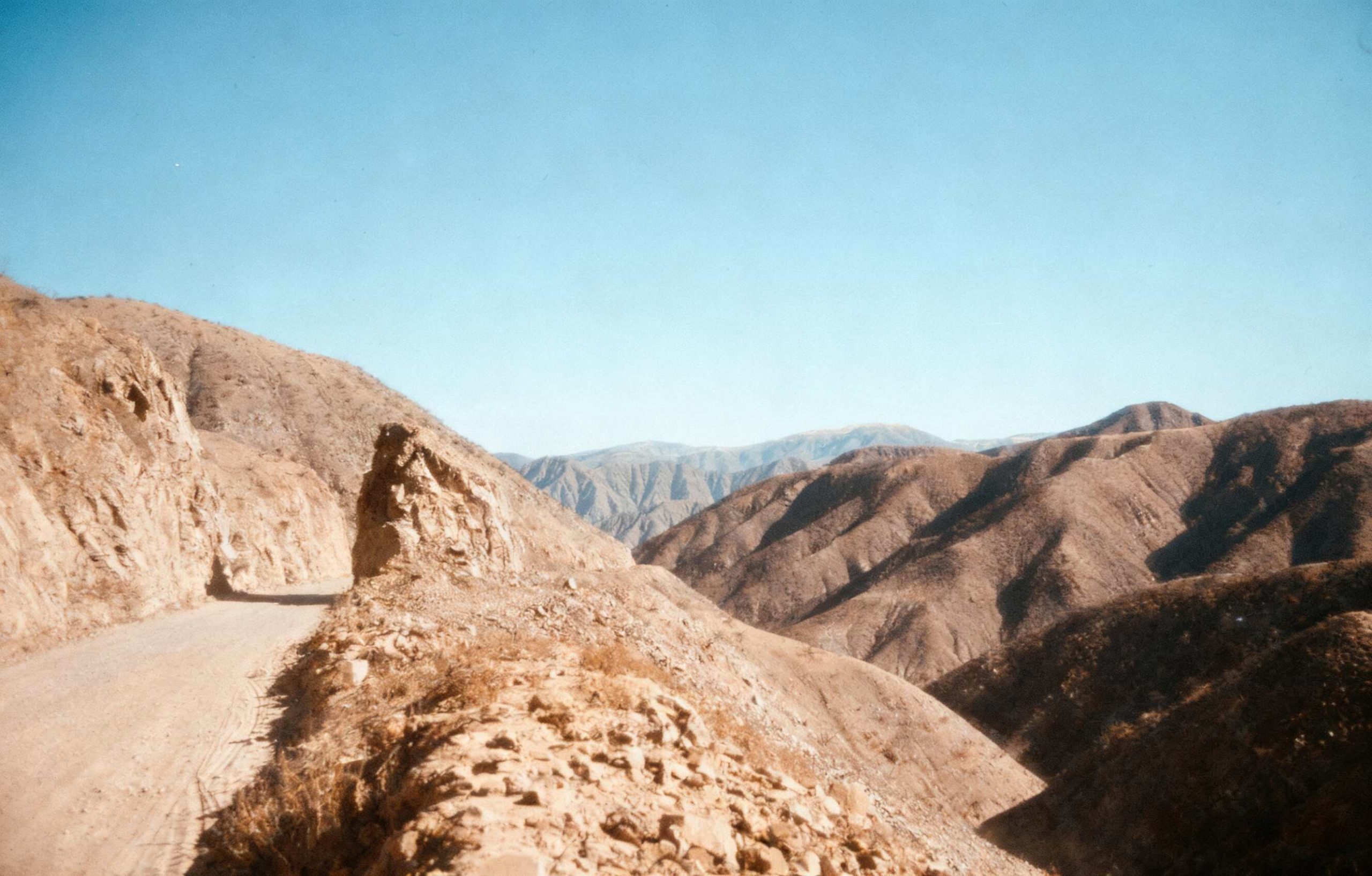
In the mountains
Nazca to Chalhuanca – you will need to zoom in to see the zig-zag stretches of road. Also spot the area where we exceeded 4,00m asl
Last Updated on 24/09/2026″