August 4th – Lima Day1
Our first breakfast, with a rather different menu from one in the UK, and the menu was in Spanish of course. ‘What is desayuno….’? Papaya & mango in fruit salad. Being a 4-star hotel there were concessions to English speakers though with a translation and some recognisable items like pancakes (all rather American options though).
The view from the hotel room window was a bit different from London as well. Very few high rise buildings and a rather hazy atmosphere. Lima is in a relatively temperate area, although rain is rare, drizzle is common during the winter and during the time I was there, hazy skies are fairly normal. Temperatures never become cold, and can be hot in the summer (December to April, remember it is south of the equator) in the high 20’s to low 30’s
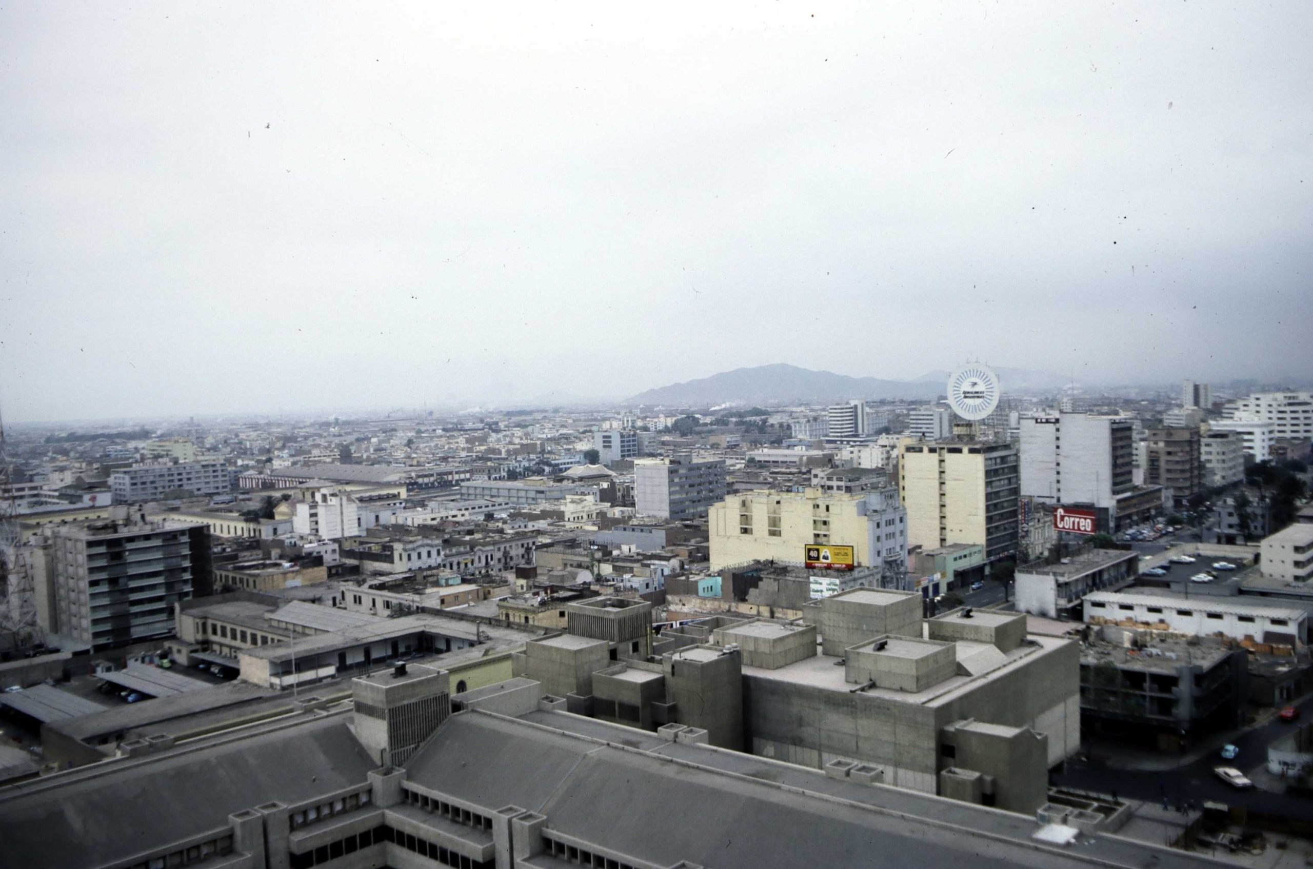
Leaving the hotel at 8:30 into relatively cool, slightly overcast, Lima with the consultant, we took a taxi to the Signal Oil company Office in San Isidro, suburb near the Pacific coast. There we met up with Eric Bosc, the Signal Oil geologist who would accompany and plan most of the travel for our work. I was told the equipment had not shipped yet from UK, and my fishing rod was still missing. Then, discussions began about what vehicles to use for the work, and how to mount the equipment on them. As a result, the hire of Land Rover with roof rack and a Toyota Land Cruiser was initially arranged. I discovered during the talks that I had been wrongly advised about the address for equipment shipping, it should have been to IPEN (Instituto Peruano de Energia Nuclear), with whom there was a collaboration agreement for the project (a relatively new organisation then). I telexed (a way of messaging in the olden days) the shippers to see if the delivery address could be changed.
We were invited for lunch at a nearby restaurant, ‘Blue Room’ (still exists), where I was introduced to some Peruvian dishes like ‘anticuchos‘ and ‘sopa a la criolla‘.
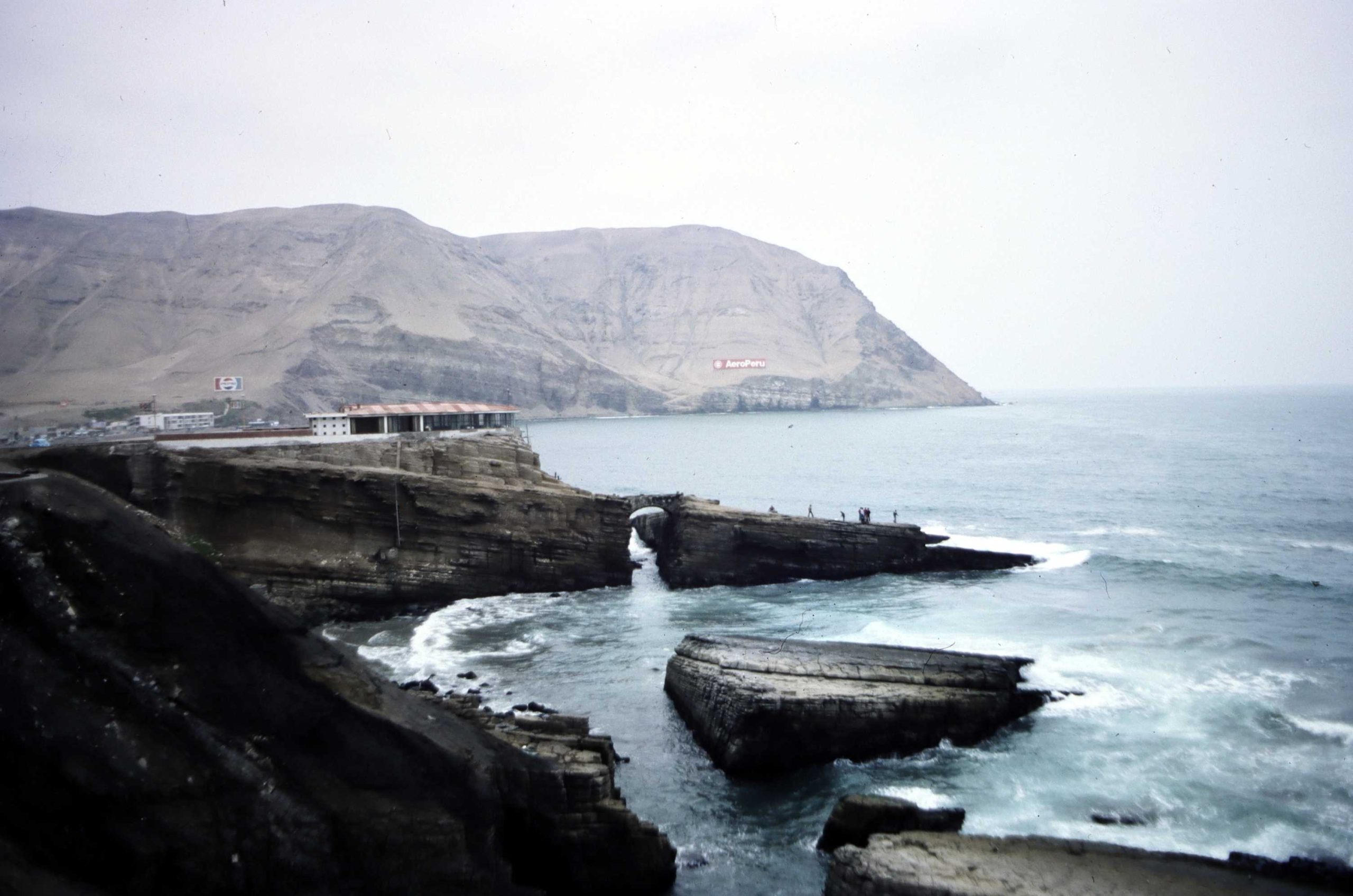
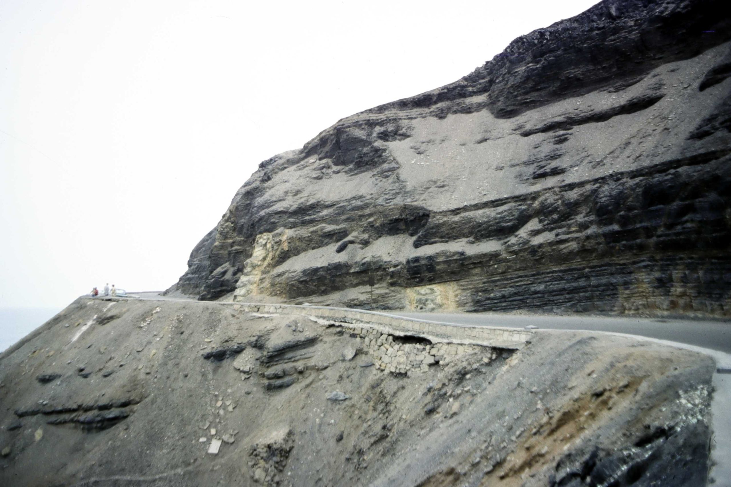
We needed maps and aerial photos of parts of the country of interest, so visited the Peruvian Army office that held aerial photos, but it was shut (we did get some later on). We toured the local area, and I had my first view of the Pacific, and viewed some coastal geology sections (of course!), our first glimpses of the geology in Peru. Apart from simple cliffside rock exposures, we viewed some faults and had earthquake remnants were pointed out.
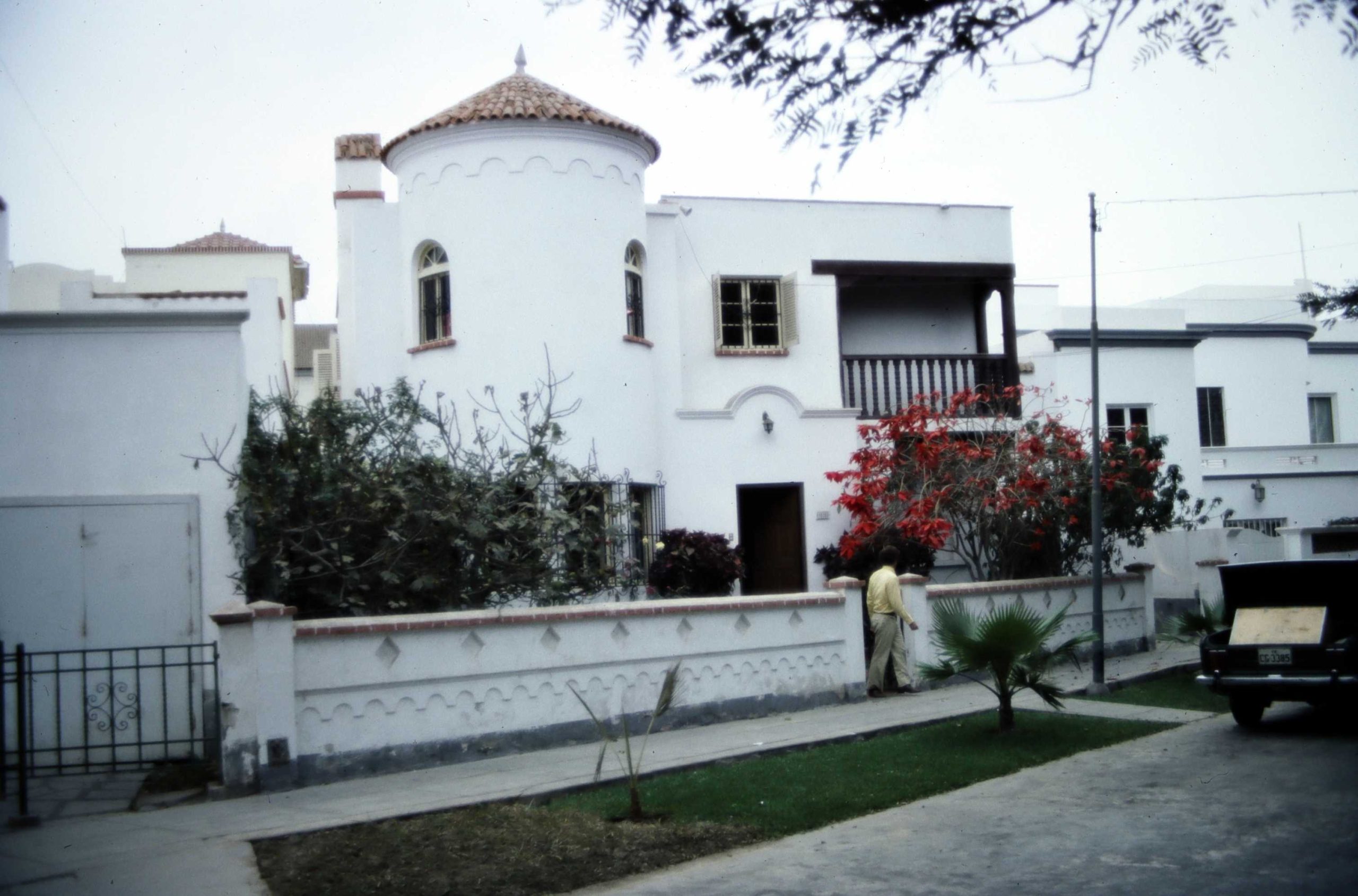
We then visited Eric Boscs house, and walked from there to the hotel, arriving 11:30 pm, getting a feel for the relatively cool evening air in Lima, and feeling safe walking the streets at night.
Just note – it was very difficult to obtain decent maps of the areas we intended to visit. Some did exist, but were in the control of the armed forces, and we could not get access. We did obtain some aerial photos though eventually. Basically, the Peruvian armed forces did not want detailed maps to be available to the public. Thank goodness for Googl Map now!
Last Updated on 05/08/2026″